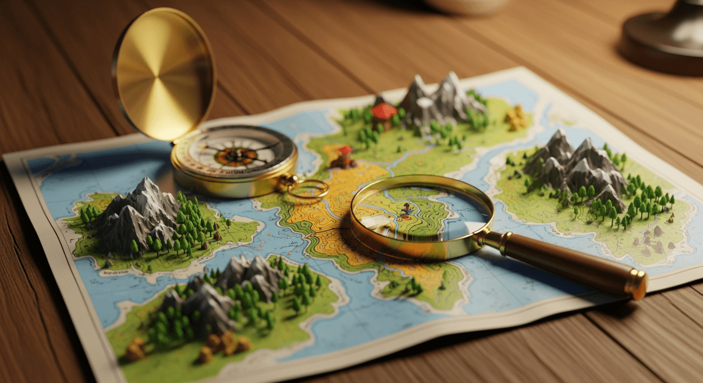

Understanding Map Topography: A Beginner's Guide
Introduction
Have you ever thought about how to know a place before you visit it? Most maps just show towns or roads. A topographic map is different. It gives you a view of the land that shows the highs and lows, like mountains and flat areas, on a flat page. You can see the earth's surface in more detail, including hills, valleys, and plains.
In the United States, people use these maps for many things. Outdoor adventurers use them to plan trips. Engineers look at them for work. A topographic map can help anyone see what the land truly looks like.
This guide will show you how to read and use topographic maps.
What Is a Topographic Map?

A topographic map shows detailed information about the Earth's surface. It gives a clear view of the land, so you can see the shape and height of hills, valleys, and more. This type of map is different from a road map because it does not just show ways to drive from one place to another. A topographic map helps you look at the ground's three-dimensional shape.
In the United States, official groups like the United States Geological Survey make these maps. The latest topographic maps are called US Topo. A US Topo map shows both natural places and things people built. They put all that in one easy-to-use map, so you get a lot of helpful info about the land.
So, what makes a topographic map different from other maps? The main difference is that it can show height and elevation. A planimetric map shows where things are on flat ground, but a topographic map adds the up and down parts, too. A topographic map uses a certain map projection and coordinate system to get things lined up right. This helps you see both natural things like rivers and forests and artificial features such as buildings and borders. Because of this, a topographic map is good for giving a clear view of the physical land.
Key Features That Distinguish Topographic Maps from Other Maps
The main thing that makes topographic maps different is their use of contour lines. These lines join points of equal elevation on the map. This helps you see the shape of the land. A regular map with just roads and cities does not show if a path goes up, down, or stays flat. A topo map with contour lines lets you know if you will go uphill or walk on level ground.
These maps show more than just contours. They have many other details that set them apart from basic maps. You get a full picture because the maps use different layers of data. The main things that make them stand out often include:
-
Contour Lines: These lines show height by linking points of equal elevation.
-
Quantitative Relief: This shows changes you can measure in how high or low the land is and its shape.
-
Detailed Land Cover: This points out different plants, like forests or open fields, on the map.
-
Hydrography: This shows water features on the map, like rivers, lakes, and streams.
Each feature uses the same map projection and symbols. This helps you trust the maps for exact planning and study. By adding more details, you get a much better picture than you find in most themed or road maps.
Common Uses of Topographic Maps in the United States
Across the United States, topographic mapping plays many important roles. In the past, the Army Corps of Engineers and other military groups made topographical surveys to help with planning. Now, these maps are used for many things outside the military. A lot of data from topographic mapping is in the public domain, so people can get it easily.
Both professionals and people who do these things for fun use these maps. Urban planners use the maps. They help check if land is good for building on. Geologists use them, too. They look at earth sciences with these maps. The maps are good for planning outdoor fun. People use them in these ways:
-
Recreational Activities: The use of these is important for hikers, campers, and people who like orienteering. These help them get around in the area and stay safe.
-
Civil Engineering and Architecture: People use these tools for key steps when planning big works like roads, dams, or other important parts of a city or town.
-
Resource Management: These are used to help out in mining, forestry, and when taking care of natural resources.
The topographic maps give clear and detailed facts about the height of land, water features, and how the land is shaped. These maps be very useful when you want to see the real layout of the ground. They help people get to know the area in a better way.
Decoding Contour Lines and Map Symbols

At first, a topographic map may look like a mess of lines and symbols. But when you learn how to read the map, you are able to find a lot of useful info. The two main things to know are the contour lines and the legend for the map symbols. Contour lines join points of equal elevation, which show how the land looks.
The symbols found on map sheets are very important. They show things like buildings, roads, rivers, and plants. If you learn to read these signs, a simple sheet can turn into a great guide. You get to see and understand more about the world near you. Let's look at what the lines and signs on the the map sheets tell us.
Understanding Contour Lines and Elevation Patterns
Contour lines are the main part of a topographic map. These lines show the shape and height of the land. Each line connects places that are at the same height above mean sea level. With this elevation data, you can see how the land goes up and down. The way these lines are spaced shows you if the ground is flat or steep.
You can read how steep a slope is by looking at how close the contour lines are on a map. When these lines are near each other, it means there are steep inclines. If the contour lines are far apart, it shows there is a gentle slope or that the ground is flat. Concentric circles made by contour lines often mean there is a hill or a mountain. When you see V-shaped marks, they usually show deep valleys, and the 'V' shape will often point going up the hill.
When you look at these patterns, you can read the land and what is on it. Here is a quick list to show what each kind of contour line means:
Contour Line Pattern What It Represents Close Together A steep slope or cliff. Far Apart A gentle slope or relatively flat terrain. V-Shapes A valley or draw, with the V pointing uphill. U-Shapes A ridge, with the U pointing downhill. Closed Circles A hill, mountain, or depression (if marked).
Essential Symbols and What They Represent
Topographic maps use contour lines to show shape and height. Besides these lines, the maps also have important symbols that explain what you see on the ground. These symbols mean the same thing on every map and you can find what they stand for in a legend or characteristic sheet that comes with the map. They help you see both natural things and man-made objects fast.
These symbols are put into groups based on what they show. Water features are shown in blue. Things like trees and plants are usually green. Buildings and roads, which are artificial features, are often black or red. If you know this color code and how the symbols look, you can read the map right. Some symbols you may see are:
-
Water Features: There are blue lines on the map to show streams and rivers. Lakes and ponds are shown as blue shapes.
-
Land Cover: You will see green parts for forests or wooded places. White sections show open land.
-
Artificial Features: Black squares are used for buildings. Roads and railways are marked with different lines.
-
Points of Interest: Landmarks such as churches, schools, or campsites are marked with unique symbols.
When you get to know these rules, you can spot key parts of the land. You will also feel better about finding your way.
Conclusion
To sum up, learning map topography is important if you enjoy outdoor fun or want to know more about geography. These maps show the way land rises and falls, and they help you plan trips and stay safe in many places. When you know about contour lines and read the main symbols, you can find out a lot about where you are. You will feel sure about where to go. These maps are useful if you hike, camp, or even just want to go explore outside. Give yourself time to read and enjoy topographic maps. This will make your outdoor trips better. If you want to learn more, there are free or fun online topographic map tools that use contour lines to fit what you need.
Frequently Asked Questions
How Can I Find and Download Free Topographic Maps of My Area?
You can get USGS topographic maps as free downloads using The National Map downloader. The maps and data are in the public domain. You will find them for free on the official USGS .gov website. You can look for your area, then download the US Topo map.
Where Can I View Interactive 3D Topographic Maps Online?
The USGS has some good online tools for interactive 3D topographic maps. The National Map Viewer lets you look at map data in a dynamic way. You can also use the topoBuilder application to make your own maps when you need them. This gives you a modern way to see and use these digital files in the present day.
Are There Resources for Finding Custom-Printed or Waterproof Topographic Maps?
Yes, you can get custom topographic maps with your choice of format and what you want to show. The topobuilder application from USGS lets you make OnDemand Topos, so you can pick what you need. There are also several companies that will print custom topographic maps, including historical maps, on strong and waterproof paper. This is good for use outside.